
A twelfth-century motte castle was the subject of a challenging topographical and geophysical survey by Rubicon Heritage Services within the policies of Cally Palace near Gatehouse of Fleet, Galloway, south-west Scotland. The work was undertaken for Forestry Commission Scotland.
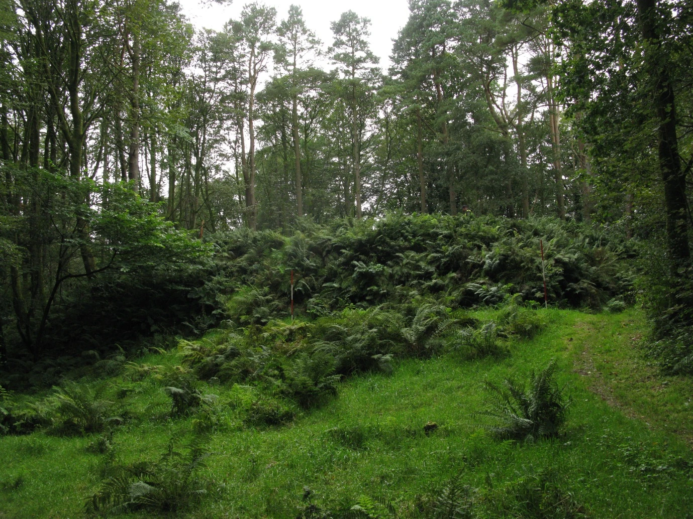
The picturesque wooded landscape at Moat Park motte, which rises beneath the bracken in the centre of the photograph
Motte castles are flat-topped earthen mounds whose summits originally carried timber buildings and defences. They were introduced into Scotland in the early twelfth century and are especially common in Galloway, where Norman settlement and the developing feudal system created a landscape of fortified frontier sites.
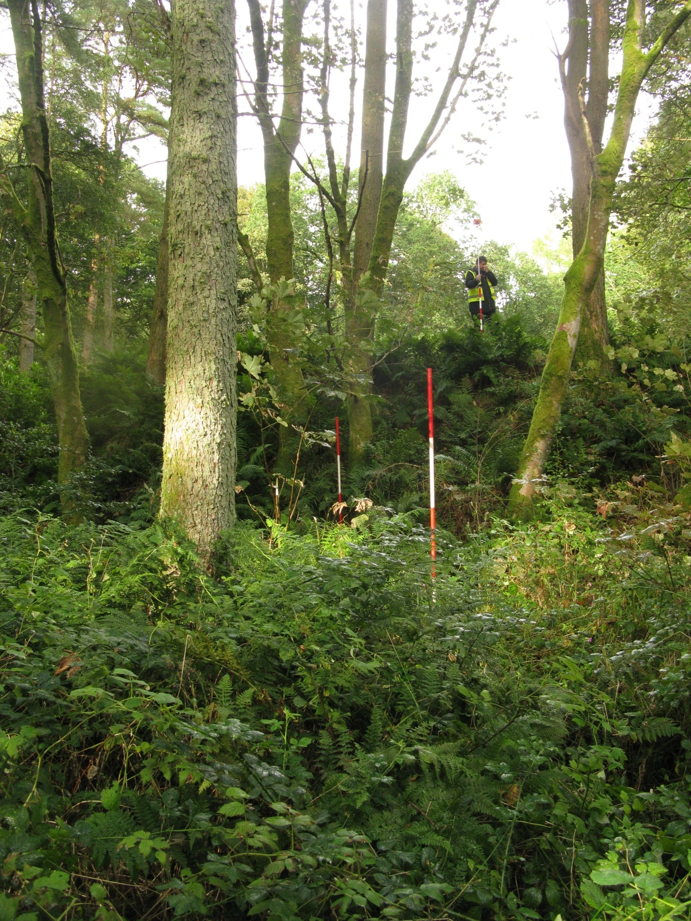
The challenging survey terrain at Moat Park motte
Moat Park survives as a well-preserved mound in dense woodland. The survey aimed to record its archaeological form and provide information for conservation and management, while geophysical techniques were used to look for buried remains on the summit.
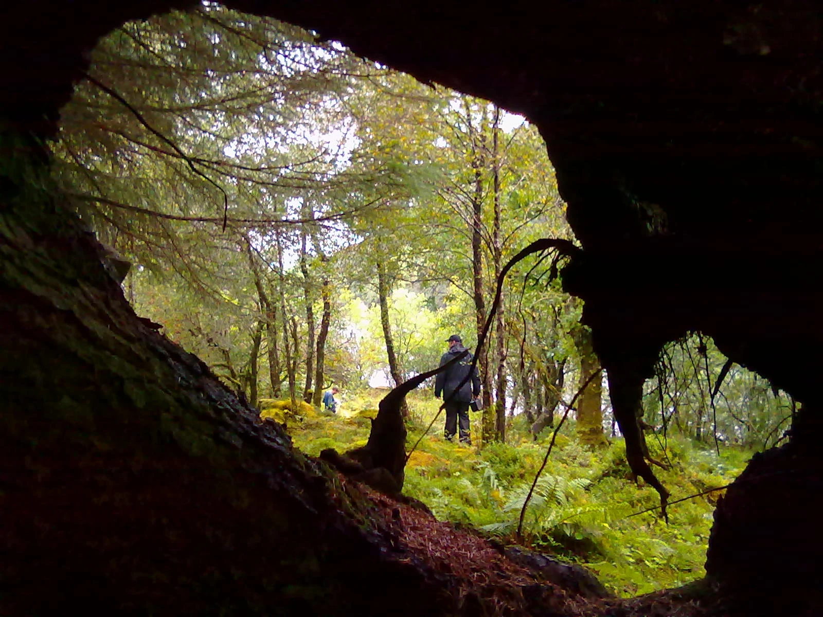
The Moat Park survey did present the opportunity for some arty photographs as well
Topographical survey showed that a substantial ditch had been cut around the summit of a low ridge, using the natural landform to create a defensible earth-and-timber castle. Additional earthworks may have supported a palisade.
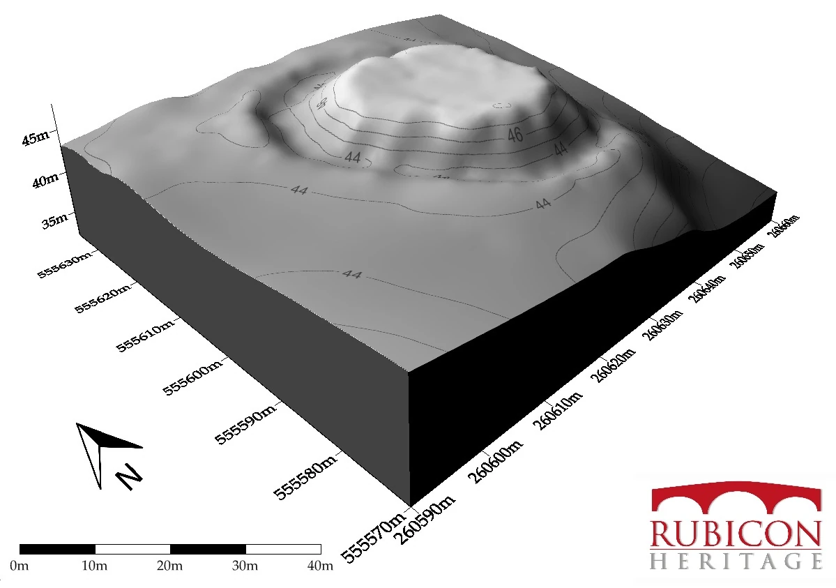
A digital terrain model produced as part of the Moat Park motte survey
Electrical resistivity did not reveal substantial masonry on the summit, which is unsurprising for a timber motte. Fluxgate magnetometry, however, identified magnetic anomalies associated with human activity.
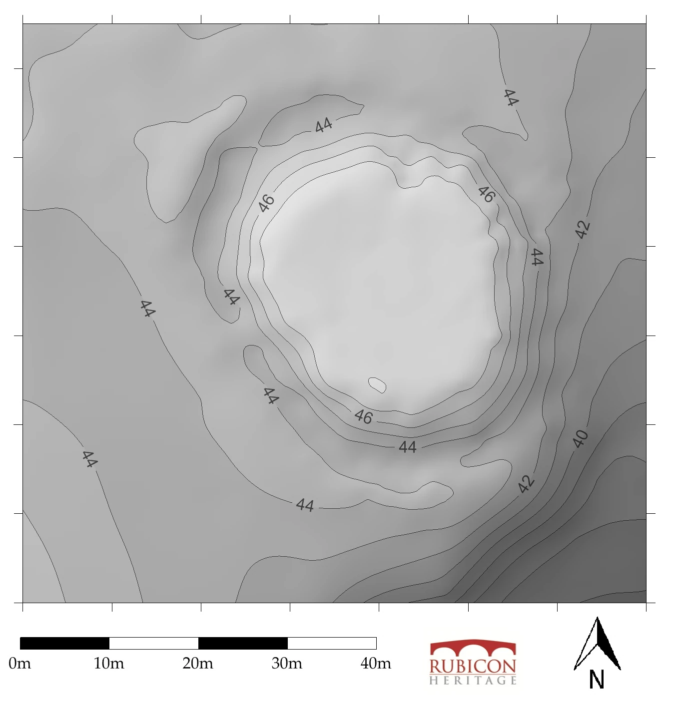
Topographic grey-scale contour-based plan of Moat Park motte
One broad magnetic response could reflect burning rather than a ditch or masonry. Given the turbulent history of Norman settlement in twelfth-century Galloway, it is plausible that substantial timber buildings on the mound were destroyed in a conflagration.
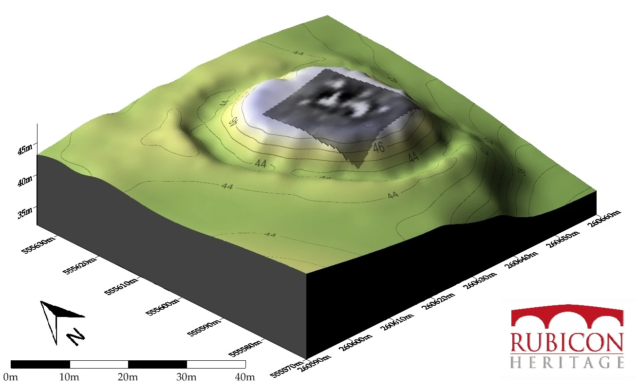
The results of the magnetometry survey draped over a digital terrain model of Moat Park motte